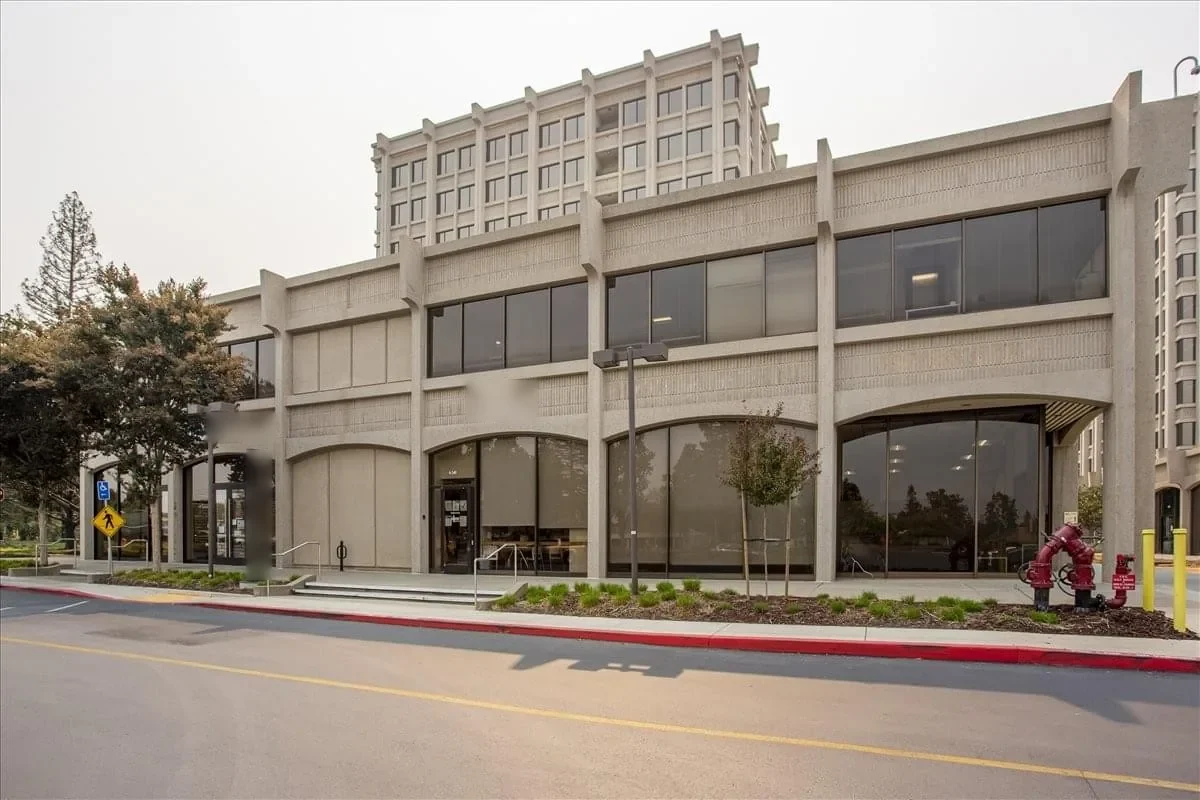
Local weather advisory

Coastal Flood Advisory: Commercial Roof Help in Oxnard

The National Weather Service has issued a coastal flood advisory covering Oxnard. Heavy rain and drainage loading can expose roof leaks, blocked drains, and ponding water. This is a weather exposure advisory; it does not establish damage to a specific roof.

Do not access a roof during hazardous weather. Protect people first, avoid water near electrical equipment, and request roofing help when conditions permit.

National Weather Service · Updated Oct 27, 2026, 1:54 PM UTC

Drone Roof Inspection

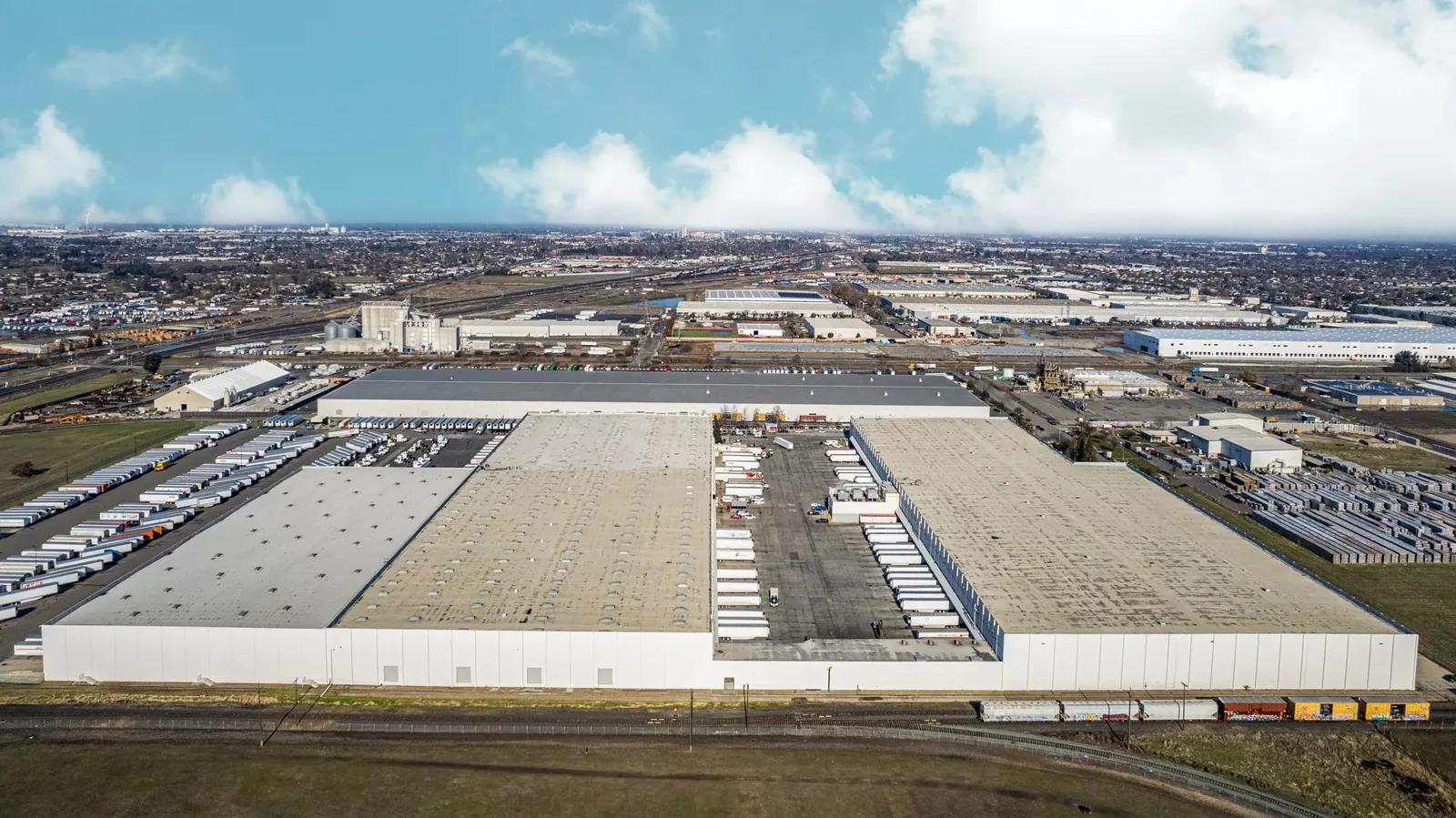
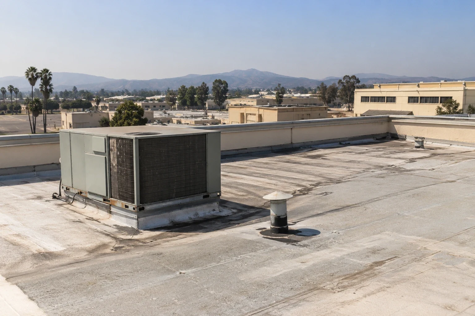
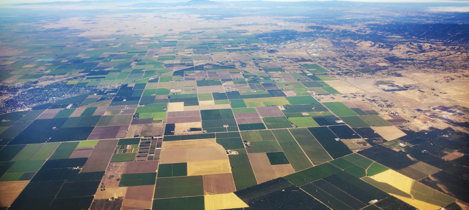
From the ground, a long roof can hide the detail that needs attention. A drone survey gives the facility team an overhead view of membrane sections, equipment clusters, drainage paths, and edge conditions that are difficult to see from the access point. We use the images to document the roof surface and identify places for closer inspection. They do not show moisture below the membrane or replace hands-on testing at a seam or curb. Oxnard’s General Plan recognizes large planned business and industrial areas, including Sakioka Farms and the Central Industrial Area, where roof access and building operations can vary from one property to another. We confirm the exact buildings and access limits before flight, then return a labeled image set tied to a roof map. Sakioka Farms properties and Central Industrial Area buildings benefit when image locations can be matched to the site’s equipment and service records.
Drone Roof Inspection in Oxnard, CA

Capture the roof in planned passes

Before a flight, we confirm property boundaries, roof sections, access, nearby obstacles, and the purpose of the survey. The image plan may focus on a suspected leak area, a large field with limited walk access, or multiple buildings that need an initial visual record. We set the camera angles to capture seams, penetrations, drains, curbs, parapets, edge metal, and changes in roof height. A consistent pass pattern makes it easier to compare sections and identify where a hands-on check should begin.

Flight conditions matter. Wind, precipitation, glare, and nearby activity can reduce image quality or prevent safe work. We reschedule when conditions do not support a useful capture. We also coordinate with the property contact so active loading, tenant movement, roof access, and any site restrictions are understood. The goal is a clear record of the roof surface, not a dramatic aerial view. If interior leaks are part of the request, provide their locations so the survey can focus on related roof details.

Read images for visible conditions

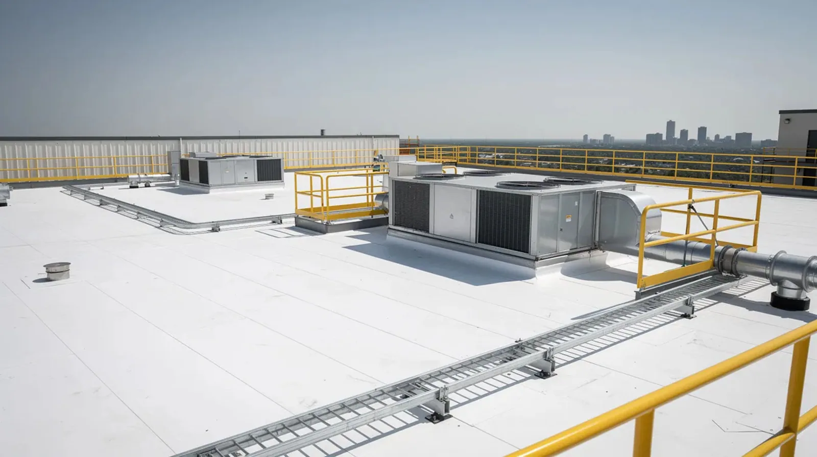
Overhead imagery can show debris accumulation, standing water at the time of capture, open or disturbed areas, visible patches, rooftop equipment placement, and apparent changes between roof sections. Angled images help show parapet edges, curb faces, and wall transitions. The report labels each image with the section or feature it depicts, then notes which areas require closer review. A picture of a dark area does not, by itself, prove that insulation is wet or a membrane has failed.

We compare the images with available roof plans and field observations. The map should indicate the view direction and roof area so a maintenance team can return to the same spot. If the image suggests a loose termination or puncture, we schedule a hands-on check to test the condition and select a repair detail. For active water entry, leak tracing remains focused on the path from the interior report to the roof opening; the drone view can help orient that search but cannot identify hidden water travel on its own.

Know where the camera stops

A drone records what its camera can see. It cannot test membrane adhesion, press a seam probe into a lap, lift a flashing, confirm deck strength, or identify concealed moisture. Rooftop units and parapets may block some surfaces. A roof with a complex layout may need supplemental ladder access, a lift, or a direct roof walk. We state those limitations in the report instead of treating an obscured area as inspected.

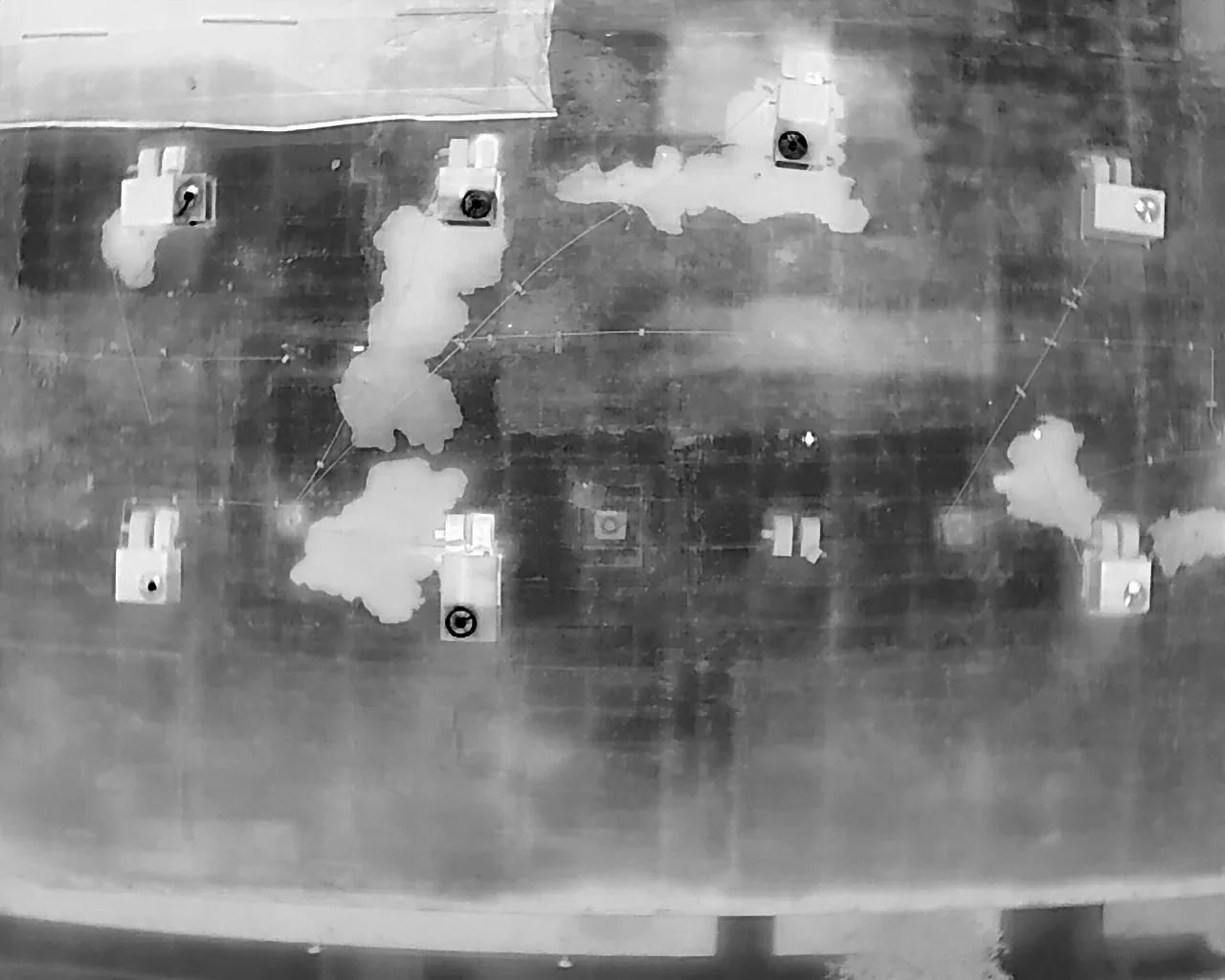
Thermal imaging is another method, but it answers a different question. An infrared scan looks for surface temperature patterns that may help locate areas for moisture confirmation; it does not provide the same visual coverage as a drone. Core cuts or other tests may still be needed. We can pair aerial images with a hands-on roof inspection or an infrared moisture survey when the decision requires evidence beyond visible surface conditions. Each method is listed separately so the owner knows what the findings can and cannot establish.

Connect the view to the property

Large business areas are not uniform roofs. Camino Real sits by U.S. 101. Its plan permits research, office, manufacturing, professional, and limited commercial uses, which can bring varied equipment and access needs. The land-use mix does not reveal any particular building’s roof assembly. We use the property contact’s map and building list to label each image set accurately. A warehouse, office, or production building gets its own roof reference.

Oxnard’s 2023 Hilary event also belongs in context. The local NWS station recorded 1.77 inches of rain in August, a new monthly August record there. The image date and recent leak history help frame a drainage review, but the event is not proof of damage to the surveyed property. We note visible low points and drain locations, then use a ground or roof-level visit to verify whether water is trapped or an outlet is restricted. Camino Real Business Park is a broad employment area, so the flight plan remains specific to the buildings authorized for review.

Turn the images into next steps

A useful deliverable includes labeled images, a simple roof map, the date and sections covered, visible conditions, and blocked or excluded areas. We identify details that need a direct look and assign a priority when an active opening or loose component is visible. If the roof plan is out of date, we note where building geometry does not match the available drawing. That makes later work easier to coordinate.

The image set can support a repair request, a maintenance record, or a comparison across several buildings. Some defects may not be visible in aerial imagery. A condition report with labeled photos can combine those records with hands-on findings, while commercial roof repair can address the defects confirmed in the field. If a roof needs a closer physical evaluation, we schedule that work with the building contact and follow the approved access route.

Prepare for a clear survey

Before the visit, send a current site plan, building list, roof plan if available, access contact, and any known leak or repair locations. Identify secure areas, active operations, and timing constraints. We confirm which roofs are in scope and how images will be delivered. If a building is not accessible or a weather condition changes the plan, the report states the limitation and the next available method.

For a portfolio survey, identify whether you need an inventory or imagery for a specific repair decision. We will label each property and coverage limit, then use the images to prioritize roof-level follow-up. The camera cannot establish hidden assembly or moisture conditions.

Plan a drone roof survey

Share the building list, roof plans, access contact, and question the images need to answer. We will confirm coverage, capture conditions, and any hands-on follow-up required.

Common Questions

Can a drone determine whether insulation is wet?

No. A standard aerial image shows the visible roof surface, not moisture below it. If the images raise a question, we can use infrared indications and confirm suspect locations with core cuts or another appropriate test. The report separates visible observations from conditions that require direct verification.

Will drone imagery replace a roof walk?

It can reduce the need to approach some difficult areas for initial documentation, but it does not test seams, attachment, flashing, or substrate condition. A roof walk or targeted hands-on inspection is still needed when a repair decision depends on those details.

What if equipment blocks part of the roof?

We mark obstructed areas as not visible in the image record. Depending on access and the inspection question, we can use a roof-level check, different camera angle, lift, or another method. We do not treat an area behind equipment as inspected just because its edges appear in the photo.

Can you compare drone images from separate visits?

Yes, if the building, image angles, and roof sections are identified well enough to match. We note the capture date and coverage and call out differences that are actually visible. Weather, lighting, construction, and equipment changes can affect comparison, so the images should be read with the Diligence Notes.

What conditions can postpone a drone survey?

Wind, rain, glare, access restrictions, or activity near the roof can prevent a safe or useful flight. We confirm conditions before the visit and reschedule when image quality or site safety would be compromised. A hands-on inspection may be the better option if the question is urgent and access is available.

ServicesRoof SystemsProperty TypesIndustriesService AreasDamage RepairCapabilitiesManufacturersAboutRequest a Roof Assessment555-555-5555
Call555-555-5555